Ride Reports and Plans
metaMotoADV Ride Reports (RR) start with a Ride Plan (RP). I express my Plans with routes which are the result of a lot of research. I use planning tools detailed on the Planning and Mapping page.
Recording
My preferred way of recording the track is to use the Locus Maps record option because it’s part of my navigation system. The Spotwalla system with the Bubbler GPS Pro App keeps my position visible to family members when I’m within mobile range. I compile a ride report after I finish each ride. I can overlay the recorded track from Locus onto the Spotwalla way points because it fills in the gaps on the track between marker points. Then it’s time to provide more detailed information about road conditions, degree of difficulty and trip highlights.
Bubbler GPS records my position every ten minutes. These points are joined with straight lines. They don’t follow a road like a navigation route so it’s clearer to overlay the recorded track and show the exact path I traveled.

Tracking data, statistics, photos and video, cautions and commentary all go to assist the next plan. Perhaps this information assists others with their plans.
Sometimes there are changes to Open Street Maps (OSM) required to help future adventurers. So as part of my workflow, I try to log these changes under my OSM account. You can review these changes here.
A Ride Report follows a content template which has of the following report sections:
- A distance table including fuel stops and range required
- A map
- Ride Highlights
- A video
- A read more section includes resources used for the trip
- Statistics including any incidents
- General road conditions
- OSM Corrections
- Degree of Difficulty as described on this website.
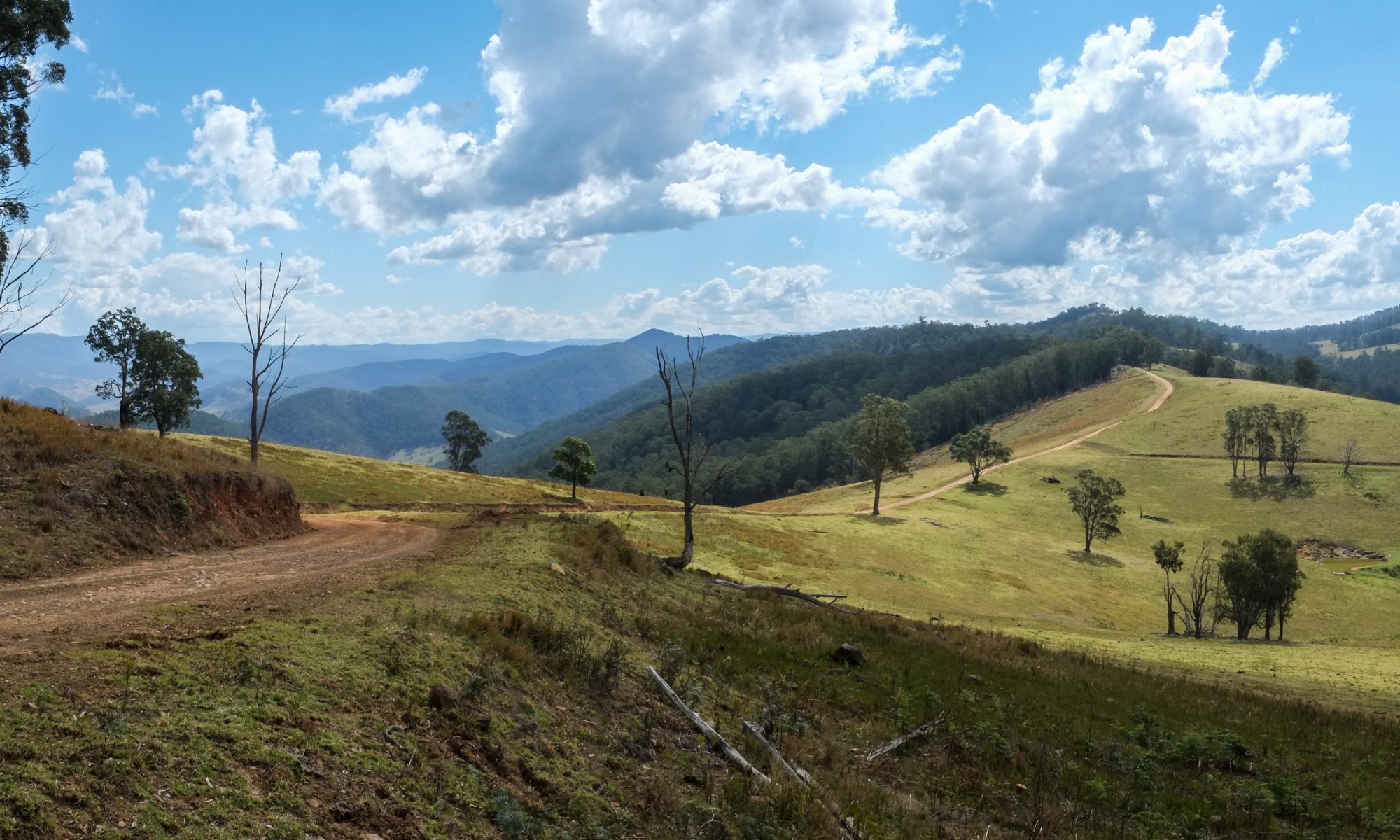
Chichester State Forest
Here’s an example of the recorded tracks I have for Chichester State Forest. There are lots of tracks in the forest. You can go there as a day trip or stay overnight at Frying Pan Campground. These are a few tracks you can explore….
Chichester State Forest GPX 2.21 MB 30 downloads
Chichester State Forest is in "my backyard". There are lots of tracks which range...There is also a wide variety in degree of difficulty for these tracks. They are not all easy, nor are they all hard. I would broadly classify the tracks included here as good beginner tracks other than:
- Terrible Billy Road
- Cherry Tree Road (gap in track mid way)
- Karuah River Ford on Mountain Road (not the north ford on Kanungra Road)
The tracks and river crossing nominated above are in the Level 3 degree of difficulty