This was a return run on blacktop from Melrose to Port Stephens
General Route
Legend:
red line as recorded track,
orange dots are spotwalla data points (using BubbleGPS) – 10 minute intervals
There may picture icons which contain photos and standard message icons for breaks.
S & F – start and finish.
Number of Riders
solo
incidents
none
Commentary
This ride was the culmination of the Flinders Ranges ride. I planned to take 2 nights but arrived in Narromine by 2pm on the second day so I thought I’d just go through to Dunedoo to make the next day shorter. However, when I refueled at Dubbo, it was 3:15pm with 425km to get home. I made the bold decision that it it would be better to be in my own bed even if the last couple of hours were ridden in the dark. This option sounded a lot better than another night in a musty motel so I refueled again in Merriwa to avoid a fill later and just kept going.
The takeaway from this was that 983kms in one sitting (lunch and fuel stops excluded) wasn’t all that bad. In fact, it just showed how good an airhawk seat can be. Of course, I wouldn’t have done it if I were headed for an overnight camp or even staying in a hotel from an 8:30pm finish.
Accommodation
One night in Wilcannia
Stats
Actual 1,549 kms
Ambient Temp
7-37C
Max Engine Temp (at front rocker cover)
134C
Road Conditions
no rain all roads dry & dusty dust storm(ish) east of Wilcannia to Nyngan
Instead of the planned route going north from Arkaroola on Umberatana Road, I went through Gammon Ranges to Copley. Umberatana road would have been nice if I’d been with a few other riders but it was so rough it would have been 1st and 2nd gear most of the way and taken too long to get back to Gammon Ranges Road.
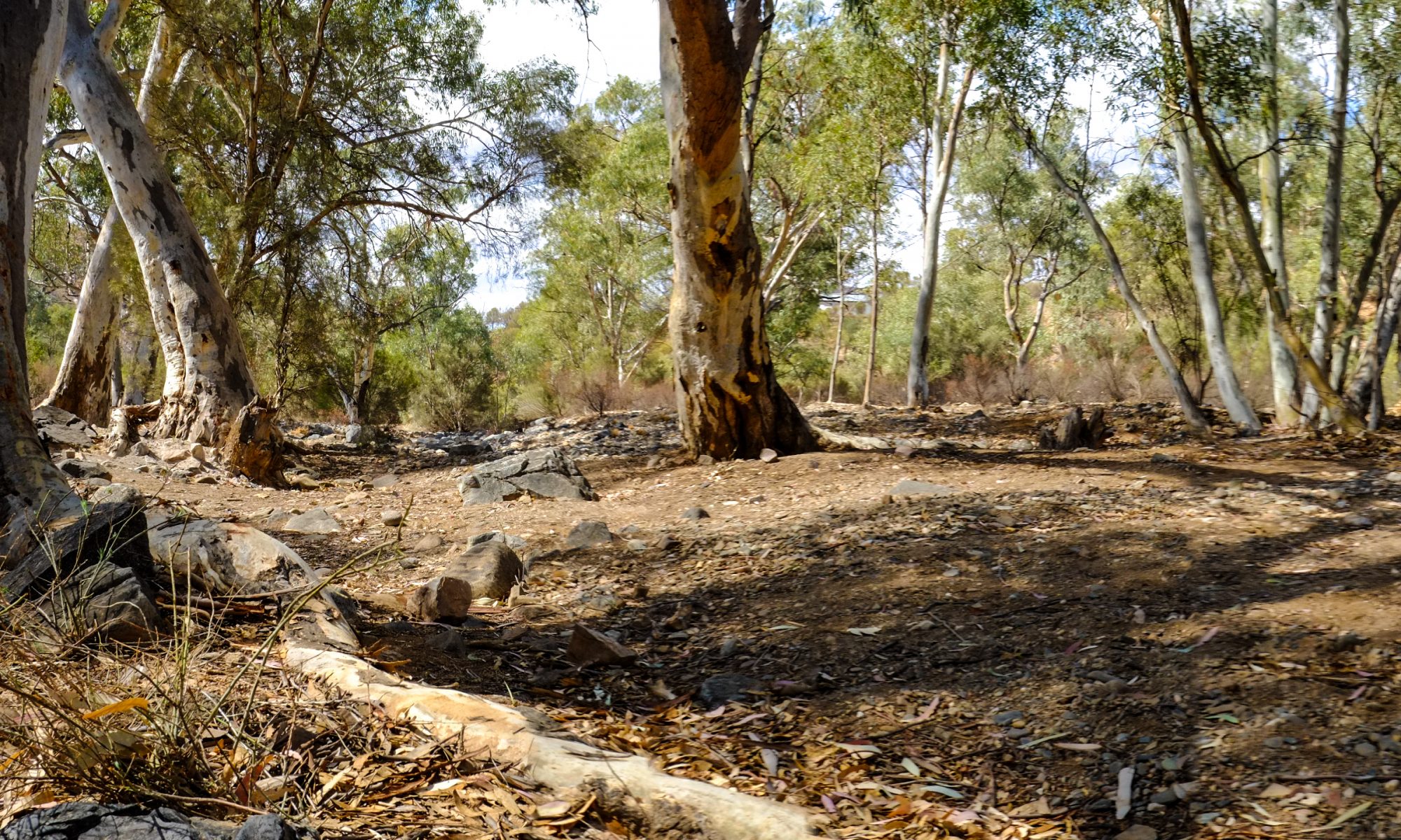
Overnight in Copley, Craddock, Warren Gorge, Craddock and Melrose (and then Wilcannia on the way home)
Degree of Difficulty
I classify all the tracks on this ride as 1 and 2. Due to my incident on the Bridal Trail, I may consider this a level 3 track but this is not because of remoteness. There seems to always be plenty of people around.
Number of Riders
solo
incidents
1 – drop on The Bridal Trail 1 – kangaroo strike on Orrerroo Road north of Craddock – busted a lot of the headlight wiring and bent cowling brackets. Took a couple of hours to put back together in Hawker.
Map
Legend:
red line as recorded track,
orange dots are spotwalla data points (using BubbleGPS) – 10 minute intervals
There may picture icons which contain photos and standard message icons for breaks.
S & F – start and finish.
Commentary
This was, after all, the Flinders Ranges ride I had planned. Although the scenery was great, the roads were good and mostly gravel which is what I like, I think I got a bit bored. A lot of the same, like seeing churches, seen one, seen’m all – with gorges.
I’m happy I finally went and saw the ranges and I appreciate the geology a lot more now. I also appreciate the weather conditions and how dry the area is. It’s obvious why farming activities have dramatically retreated from the north over the last century.
You have to pay to drive thru the NPs. I didn’t know that. But the stupid thing is that you cannot pay via honor system like the camp grounds, you must pay online before you enter. But of course, there’s no mobile reception at the pay stations. No wonder the pay stations are covered in graffiti exclaiming how stupid it is to require payment online when you know there’s no mobile reception to make the transaction.
A lot of goats out west. Thank God they nearly always run away from oncoming vehicles unlike our dumb roos.
Cautions
Kangaroos – lots of them, small but they come out of nowhere. Simple mistake on the Bridal Trail – take it easy and unlike me, keep your head up in that last section if you’re going up (east).
Accommodation in the Flinders Ranges
Arkaroola caravan park, Leigh Creek Hotel (Copley), Camping in Warren Gorge, Craddock Hotel – the hotels are not cheap in the Flinders especially if you stay on the main tourist routes.
Arkaroola ‘resort’ is pretty expensive ($10 for a pot of tea?) but the guy at the desk (he’s called ‘large’ for good reason) is very helpful. Gave me pegs, knows the area well and directed me to Iga-Warta and Leigh Creek.
Craddock Hotel was recommended to me by the Hotelier at Leigh Creek (Copley). It’s off the main tourist route so it’s a bit cheaper. It’s funky and has a great restaurant. The Hotel is practically all there is to Craddock – highly recommended.
OSM Map Corrections
I made sure the track at Hancocks Lookout is not routable because the gate is locked. You have to backtrack out.
The Ride Plans A and B for the Flinders Ranges are still possible for a return trip. The run through Yandinna , Illinawortina, Umberatana Rd and Narrina Station would be better done in company.
Stats
Actual 834 kms
Ambient Temp
20-37C
Max Engine Temp (at front rocker cover)
134C
Road Conditions
no rain all roads dry & dusty some causeways very little water no sand
From Scrapheap ride to Pooncarie, this was a liaison ride from Pooncarie to Arkaroola via Yunta, finishing one ride and starting another. But it was a challenge nonetheless and introduced some risks which invite a separate ride report.
Arkaroola Village
Day 1 – Pooncarie to Yunta
Early start on Sunday morning. Headed west past Ginko Mine and the (dry) lakes then up B79 Silver City Highway to Coombah.
white icons – symbols for Food, Fuel, Rest, Sightseeing, Law Enforcement and Bonus/Flag. green or yellow numbered banners – OK or custom text messages respectively.
Highlights
15kms of sand dunes mostly on the eastern side of the border
I rate these tracks as mostly 1 and 2 on my scale of difficulty. However, in hindsight, the Loch Lilly and Eastern Roads should be rated as 3 because of the sand and the remoteness of the tracks.
Video
Polia and Nob Roads going west from Pooncarie were in pretty good condition albeit a little sandy. The haul road west from Ginko was in very good condition. The road trains were flying. I’ve since realigned the Haul Road on OSM to its current route.
Morning tea at Coombah and took some spare fuel.
This leg was probably the riskiest leg of my journey when you consider the distance and sense of remoteness between Silver City Highway and Yunta.
After leaving Silver City Highway on Loch Lilly, it was clear that not a lot of traffic uses this road. Toward the SA border there was about 15kms of sand dunes. Fortunately they were not large dunes and very low traffic meant that there was no rutting to contend with. Once over the border, you aren’t far from the Oakvale property but it’s best to know this before you go there.
The track on the SA side (Eastern Road) was closely bordered by salt bush which did a good job of hiding the small kangaroos which were plentiful. Several close calls.
The 300+kms north from Yunta (as in ‘punter’) was a wide road. Some parts were in good condition and most was very heavily corrugated. I was expecting to see road trains going up and down but I only saw 2-3 other cars all day.
NUMBER OF RIDERS
solo
INCIDENTS
none – a few near misses with kangaroos
STATS
Planned: 730kms; Actual: 730kms
Road Conditions
mostly dry some causeways south of Yunta sand dunes crossing the SA border
The destination for the 2018 Scrapheap adventure ride was Pooncarie, NSW.
Darling River – Pooncarie
General Route
The planned route included overnight stops in Canowindra and Hillston, intending to cover as much off-road ground as possible. Unfortunately, heavy rain forced a change in plans.
Colored tracks are planned route, replace by red line as recorded track when completed,
orange dots are spotwalla data points (using BubbleGPS) – 10 minute intervals
There may picture icons which contain photos and standard message icons for breaks.
S & F – start and finish.
Video
HIGHLIGHTS
Tarana to Canowindra, especially Lagoon Rd into Rockley and Old Lachlan Road into Neville
The ride to Canowindra was as per the plan. But heavy rain resulted in closed roads from Hillston onwards. Unfortunately a detour was required at Condoblin so we headed to Hay for the night.
The weather from Hay to Balranald was much better and a group of riders decided to make the run up via Lake Mungo to Pooncarie instead of going thru Wentworth with the main support vehicles.
The roads thru to Lake Mungo and Pooncarie were quite unusual. Plenty of dust but also large patches of wet slippery sand. There were also some large fissures in the road which looked pretty scary. Those who came thru the next day reported the road was dry again.
We paid our respect to Mungo Lady and Mungo Man, the oldest (42,000 years) remains of modern humans outside Africa, and made the final run to Pooncarie. We arrived well ahead of the others who went via Wentworth.