
The people of Upper Mustang are mainly Tibetan. The area was heavily restricted until 1992. You need a permit and a guide to enter.
Plan – to be updated
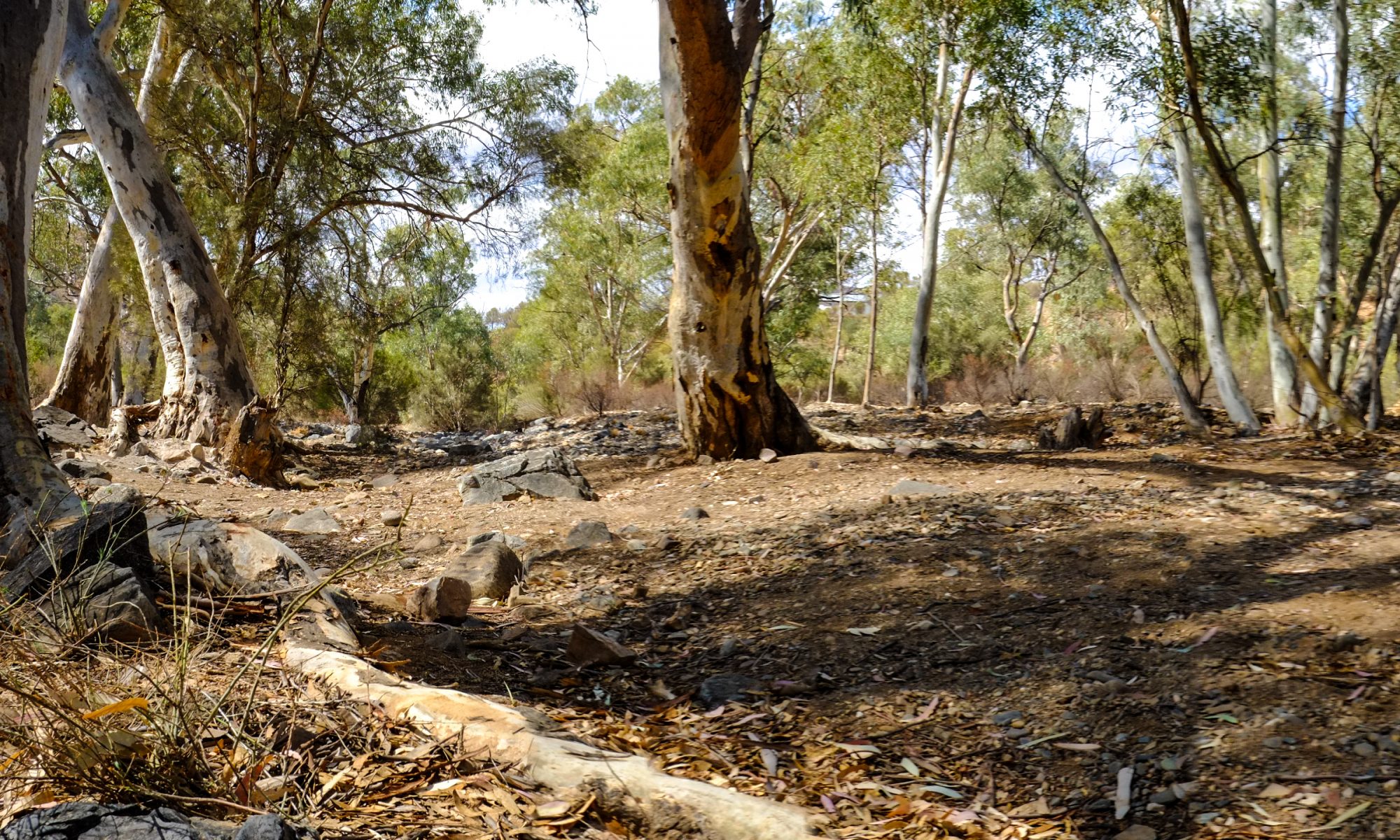
This trek is in a restricted area but is much easier to access now than it was 30 years ago. It starts for me in Kagbeni – Altitude: 2,800m/9,186ft. I intend to join the trekking party here rather than start it with the main group in Kathmandu. The group or at least one person must be accompanied by a guide.
|
Day 01:
Trek to Chele
Altitude: 3,050m/10,006ft.
|
Day 07:
Trek to Ghiling
Altitude: 3806m/12,484ft.
|
|
Day 02:
Trek to Geling
Altitude: 3,440m/11,286ft.
|
Day 08:
Trek to Chele
Altitude: 3050m/10,004ft. Time Travel: 5 to 6 hours Walk
|
|
Day 03:
Trek to Charang
Altitude: 3,490m/11,450ft.
|
Day 09:
Trek to Jomson
Altitude: 2700/8,856ft. Time Travel: 6 to 7 hours Walk
|
|
Day 04:
Trek to Lo-Manthang
Altitude: 3,730m/12,237ft.
|
Continue on the Around Annapurna Trek to Birethani |
|
Day 05:
Explore Lo-Manthang
|
|
|
Day 06:
Trek to Ghar Gumpa. Time Travel: 4 to 5 hours Walk
|
The map below is interactive. Manang, Thorung High Camp, Kagbeni, Lo-Manthang, Poon Hill and Birethani are clearly marked. Links on the maps take you to other posts relevant to the this or other treks.
From here, it’s back to Pokhara via Jomson and Poon Hill