Northern NSW – Ride Report

HIGHLIGHTS
- Enfield Range Rd, Coachwood Rd, Killiekrankie Lookout, Shipmans and Black Mountain Rd, Doboy and Ramornie Rd, David and Lodge Rd, Spiral Loop Lookout, Paddys Flat Road, Sandy Flat and Coxs Road, Old Glenn Innes Road, Kempsey/Armidale Road.
Degree of Difficulty
Most of the tracks on this ride were Level 1 however the following sections were all Level 2:
- Day 2 Coachwood Rd
- Day 3 From Taylors Arm to Killiekrankie (north of Killiekrankie returned to a cruisy Level 1)
- Day 5 north of Jiggi to Nimbim
GENERAL ROUTE
Northern NSW GPX 6.79 MB 41 downloads
Southern Tracks Several gpx tracks from the northern NSW ride over 8 days to Rathdownie...- From Nelson Bay return, via:
Krambach, Mummel Gulf, Werrikimbe and Willi Willi NP, Taylors Arm, Bowraville, Killiekrankie, Bellingen, Glenreagh, Nymboida, Ramornie State Forest, Coaldale, Casino, Nimbin, Kyoggle, Rathdownie, Tenterfield, Ebor, Bellbrook.
Itinerary
Day 1: To New Country Swamp Campsite – Mummel Gulf
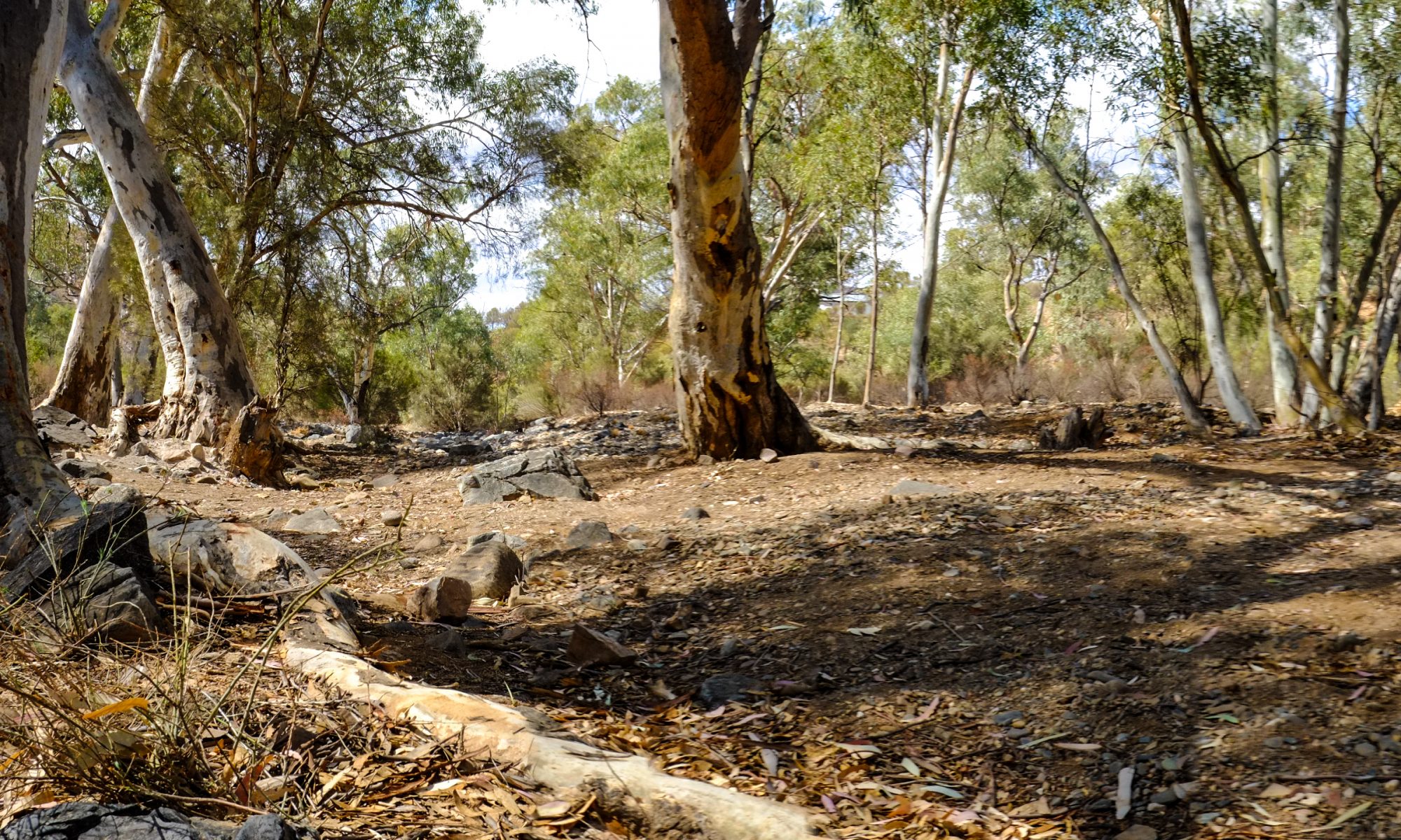
I headed out early into some poor weather, but I made it north and out of the rain quite quickly. Fortunately, by the time I reached Bunyah, the skies had cleared and things continued to improve through Bellbrook and Bundock. Enfield Range Road was definitely a first day highlight. I had to stop for a photo and some video footage of that track.
The campground is well maintained with plenty of firewood and I had it all to myself. It was windy overhead during the night but the camp ground is well protected from the elements because it’s on the edge of a ridge.
Day 2: To Taylors Arm
An early start was easy and the roads were good thru Werrikimbe and Willi Willi NP. Coachwood Road had received some maintenance since the last time I’d gone through but there’s a very steep section just after a river gully. This time it was littered with large loose boulders which are always trouble. I had to stop suddenly on the hill climb and lost balance. It took a while to get the bike upright and then ride the remainder of the hill. Fortunately, no damage was done to bike or body.
Map
Legend:
- coloured lines – recorded tracks by day,
- orange dots – spotwalla waypoints (using BubbleGPS)
- blue markers – recorded GPS points
- white icons – symbols for Food, Fuel, Rest, Sightseeing, Law Enforcement and Bonus/Flag. green or yellow numbered banners – OK or custom text messages respectively, and
- camera icons – photo icons may also me present.
Day 3: To Glenreagh
My first target from Taylors Arm was Killiekrankie Lookout. Horseshoe Road was well worn to begin but it got a little scratchy further along. It was obviousl that very little traffic had passed by recently. One fallen tree would have stopped all 2WD vehicle traffic but I managed to crawl under it.
The final climb on foot to Killiekrankie Lookout was 700m almost straight up but the view to both the south-east and west across to Point Lookout was pretty spectacular. The road north from Killiekrankie was in very good condition and had virtually no traffic.
I tried to do an outside circuit thru Lowanna off Crossmaglen Rd but the track was marked ‘No Through Road’ and looked really sketchy. So I tracked back up the highway to Glenreagh. I’d probably rate that unmaintained track as Level 3. It might be OK if I was with another rider.
Video
Day 4: To Casino
My exit from Glenreagh was via Shipmans Road to the south, then onto Black Mountain Rd which were good forest tracks The real fun, however, started north of Nymboida on Doboy Rd and thru Ramornie National Park and State Forest.
I tried to get thru to Whiporie from Coaldale in two places but both tracks were marked ‘No Through Road’ so I didn’t chance it and jumped through to Casino on Busbys Flat Road. [update] I’ve since been told it’s quite easy to go via Barrets Creek and Mount Marsh Rd in either direction so that’s on the agenda for next time.
Also next time, instead of going thru Coaldale, I could go the long way around west through Cangai Rd and Coombadjha Road along the Mann River.
Day 5: To Kyogle
The road was asphalt from Casino up thru Naughtons Gap to Jiggi but after that the road gets quite sketchy until you get through the Davis and Lodge Road. I’d classify these tracks at Level 2. The tracks weren’t marked at all so I had to stop and knock on a door for directions.
It’s a funny place, Nimbin. It seems to be locked in the 70s. But I’m told things are changing due to increased property prices so if still want to sample the old Nimbin atmosphere, you’d better get up there quickly.
I was very disappointed about The Border National Park – Tweed Range Scenic Drive being closed. I had to go around via Kyogle but a puncture on the way to Wiangaree put an early end to my day. Some help from a local who offered me his garage to do an emergency tyre change was much appreciated and I can highly recommend Kyogle Motorcycles who dropped everything to change my tyre and put a new tube in it. Great service and good price too.
Day 6: To Tenterfield
The morning started with a quick run up to Sheepstation Campground on the western end of Tweed Range Scenic Drive. From there I took some drone footage of the Spiral Loop at the Lookout before running up to Rathdownie and starting the return journey home.

Paddys Flat Road through Urbenville to Bruxner Highway was a bit rough but a great run and it was only a short run down to Tenterfield for the night.
Day 7: To Ebor
Currs Road, Coxs Road and Ten Mile Rod out of Tenterfield were all fantastic tracks. I’d do them all again in a heartbeat. The video has some footage of the almost cross country section of the track. The next leg thru Old Glen Innes Road is now a favourite and didn’t disappoint with a good mix of asphalt and gravel through to the old tunnel.
After Glens Creek Road to Nymboida, I slabbed it down Armidale Road to Ebor.
Day 8: Return from Ebor
Day 8 started with a stop at Point Lookout. It was good to get the east looking view back to Killiekrankie which is only 13km away, as the crow flies. It’s a pity there are only walking tracks joining the two lookouts but I’m sure the hike is a nice one.

I followed Forest Way and Kempsey Road to Bellbrook. I’ve done this track before in heavy rain so it was nice to experience it in the dry the second time. Kempsey Road has had some maintenance work done since the last time. The lower sections were in good condition.
By Noon and after a bite to eat in Bellbrook, I decided to make a run for home down the M1 from Kempsey so I put some air in the tyres and gunned it. It only took 3:42 from Bellbrook to Home.
The ride took one more day than planned because of the puncture in Wiangaree but it was a great way to spend a week even though I didn’t end up using the tent as much as I had planned.
Next Time
In conclusion, I think all the planning really paid off and I’m left with a couple of ‘Next Time’ additions. I’d like to get into Whiporie over those mountains and the detour along the Mann River would be good to see.
NUMBER OF RIDERS |
solo |
INCIDENTS |
1 – drop on Coachwood Rd 1 – rear puncture (torn valve stem) – Wiangaree |
STATS
Planned: 2000kms; Actual: 2,144kms
| Ambient Temp | 17-34C |
| Max Engine Temp (at front rocker cover) Max Revs Max Speed |
147C 5,990 121kph |
| Road Conditions | no rain all roads dry & dusty some causeways very little water |