Highlights

Degree of Difficulty
Refer to my post on track difficulty for more information.
With a few exceptions, most tracks on this ride were level 1. The exceptions are listed as:
- Coolangatta Rd between Lunawanna and Adventure Bay on Bruny Island, and
- Peacock Road from Huon Highway to Lady Bay Road, Southport.
Both of these small sections were a bit sketchy on the western side but didn’t present enough difficulty to move into Level 3.
Video
Coming soon
General Route
Tasmania GPX 8.22 MB 47 downloads
Circumnavigation - anticlockwise Download contains several tracks from a 9 day, 8...Legend:
- red line as recorded track,
- orange dots are spotwalla data points (using BubbleGPS) – 10 minute intervals
- There may picture icons which contain photos and standard message icons for breaks.
- S & F – start and finish.
Number of Riders |
solo |
incidents |
1 near miss with a logging truck near Meetus Falls |
Commentary
For more photos, see the Flickr Album Page
Stanley and the North East

I found Stanley to be a little too ‘twee’ for my liking. A few too many ‘Ye Olde Coffee Shoppee’s if you know what I mean. But the coastline was nice and the run through Lake Chisholm and the old forest areas and sink holes was very pleasant.
The landscape changed dramatically moving west to Coutta Rocks. Tall trees vanished, replaced by low windswept vegetation. On the plus side, the lack of trees provided unhindered views over large distances for most of the road south to the Pie River at Corinna.
Strahan
Strahan, on the other hand, was very pleasant. Old world architecture without being ‘over-cooked’ Quite colourful. The only downside in my mind was that Strahan is associated with the company – Tassal which has a reputation for being very aggressive with their demands on the environment and aquaculture in Macquarie Harbour. They probably invest heavily in the local area to compensate for their misdeeds.
Bruny Island

The day trip to Bruny Island was quite special. Fantastic views east and west form the lighthouse
Cockle Creek

Weldborough

I found a stunning little hotel for a pub stay in Weldborough. Currently doing well as a meal and camping stopover for the thriving MTB tourists to the area, the hotel is otherwise quite isolated. It has excellent food, a great atmosphere, good rooms and for $50 a single, is excellent value.
The old hotel building has some great history too. The area originally developed around the discovery of tin and the community comprised mainly of Chinese workers who couldn’t do without there majong gambling. So the hotel is known for being the first (unofficial) casino in Tasmania. There are photos of guards standing outside with shotguns protecting the door from unwanted visits from law enforcement officers.
Sir Frederick Weld was Governor of Tasmania from 1875-1880 and known as a pioneer of development of the wilder areas of Tasmania.
Cautions
Logging Trucks
There are quite a few roads (gravel) marked on the HEMA maps I use, as ‘Access Restricted’ and ‘Weekend Use Only’. At first I thought this was a National Parks restriction and when I asked a local service station operator, he confirmed my interpretation but I now think differently. Logging is not as ‘dead’ as we might think in Tasmania. Frequent road signage argues the case for ongoing sustainable forestry activity. So, on one of these ‘restricted access’ tracks I came head-on with a logging truck doing at least 80-90kph. There’s very little room to escape these behemoths. If I’d been driving a car I would have ended up in a tree. As it was I just managed to squeeze along the soft gravel verge, narrowly missing the end of the log trailer.
So please watch out for logging trucks and always keep an eye on an escape line.
Accommodation
A combination of Camping (4 nights) and Pub stays (4 nights) made for a good balance of economy and comfort. Some pubs offer free laundry facilities which saves at least $13 for a load of washing. Staying 2 nights in places used as a ‘base’ for day travel was also a good option because it saves the inconvenience of making and braking camp frequently.
OSM Map Corrections

Latest Edits to Open Street Maps
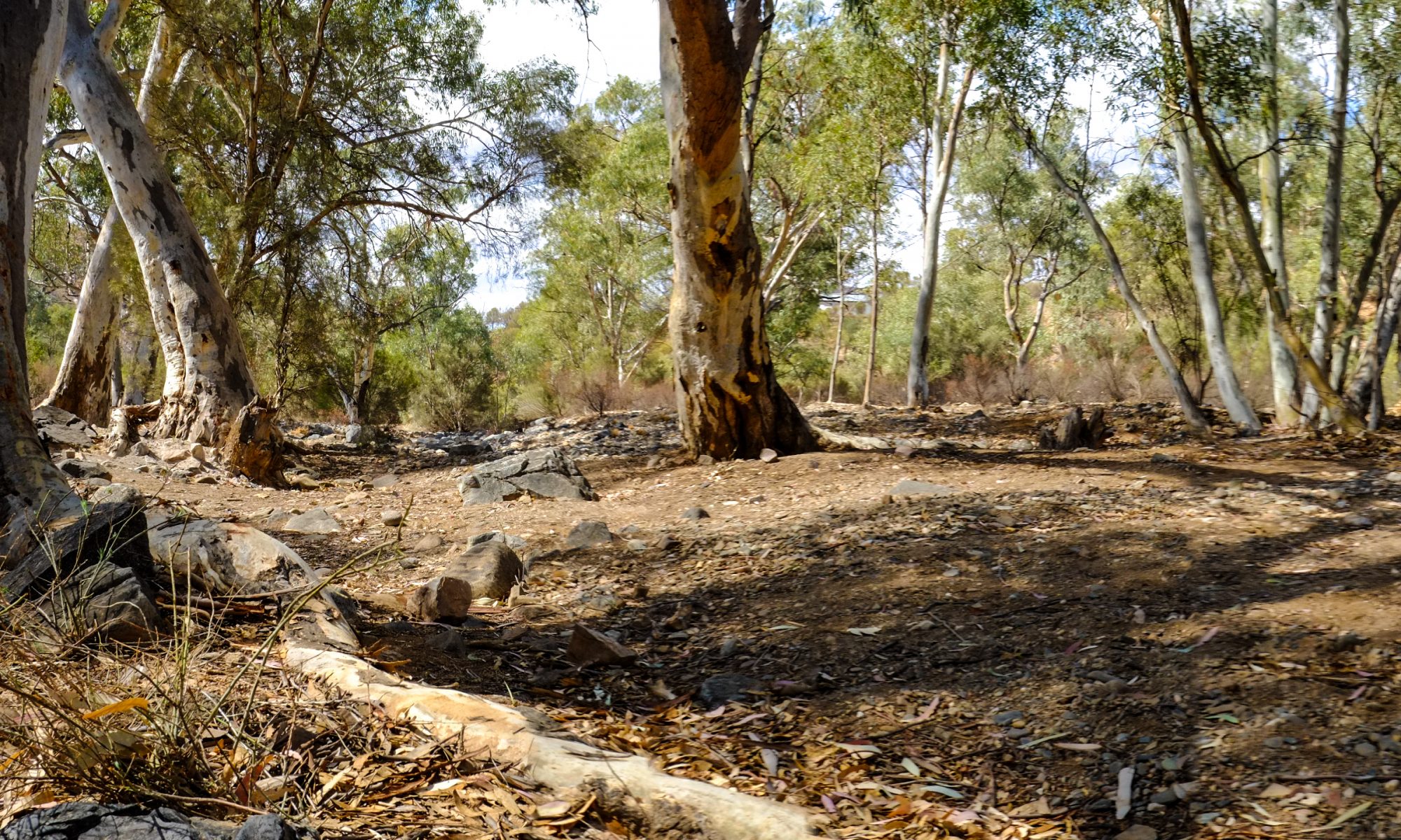
Keith River Road was blocked by a fallen tree (see attached) and then a washed out bridge. Whilst both would be navigable by small bike or in a group, a solo ride made turning back the preferred option.
Keith River Rd was spelled incorrectly in OSM and has been corrected.
Next Time
Because of the fires, the road to Strathgordon was closed. Access to Styx Road was also denied. So I’d like to see these tracks next time.
I’d also like another attempt at Dove Lake and Ben Lomond. A visit to these destinations is weather dependent.
Stats
Planned: 2000kms, Actual 1925kms
| Ambient Temp | 8-31C |
| Max Engine Temp | 137C (at front rocker cover) |
| Road Conditions | a few days or rain but all roads were in very good condition (both gravel and asphalt). I was surprised at how good the gravel roads were. |
| Costs | Accommodation: $54 (camping) $228 (pubstays); Fuel: $140; Tyres: $85 |